Pan-Asia Partnership for Geospatial Air Pollution Information
The Pan-Asia Partnership for Geospatial Air Pollution Information (PAPGAPI) is an open partnership launched in 2020 to enhance air quality monitoring by remote sensing data. Supported by ESCAP, the National Institute of Environmental Research (NIER) of Republic of Korea, and the Korea International Cooperation Agency (KOICA), PAPGAPI integrates satellite and ground-based data to improve air pollution assessment and policymaking.
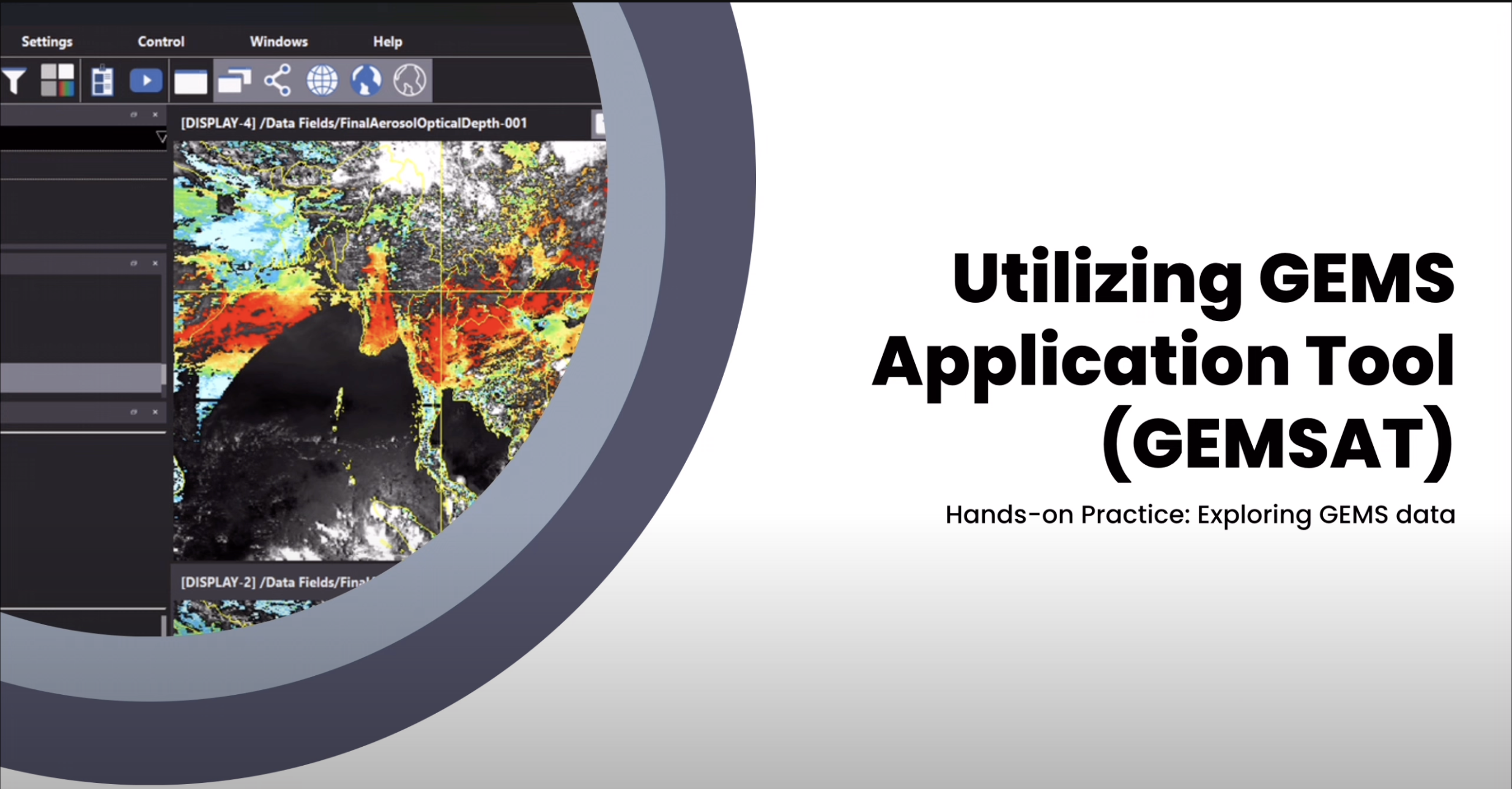
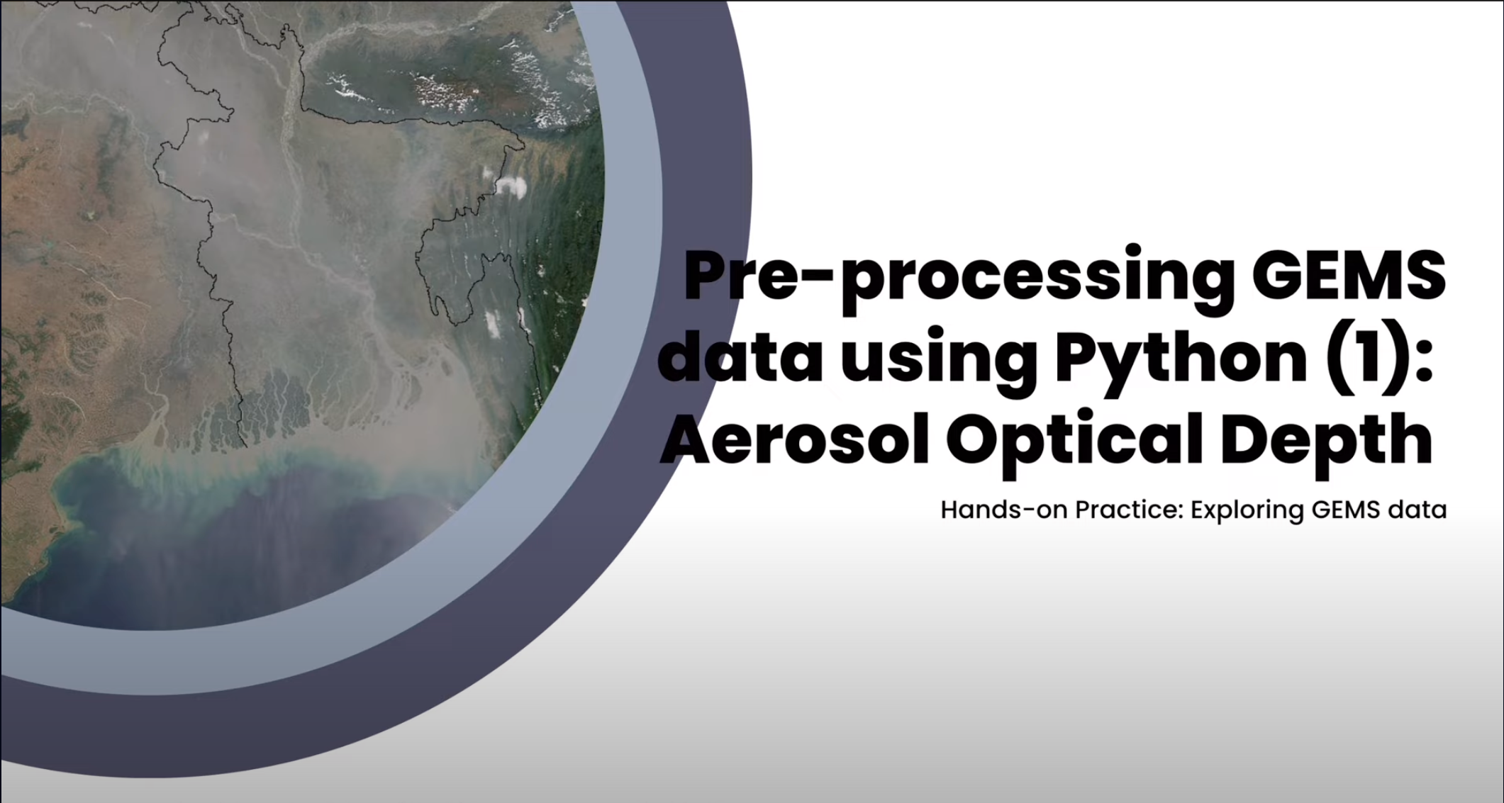
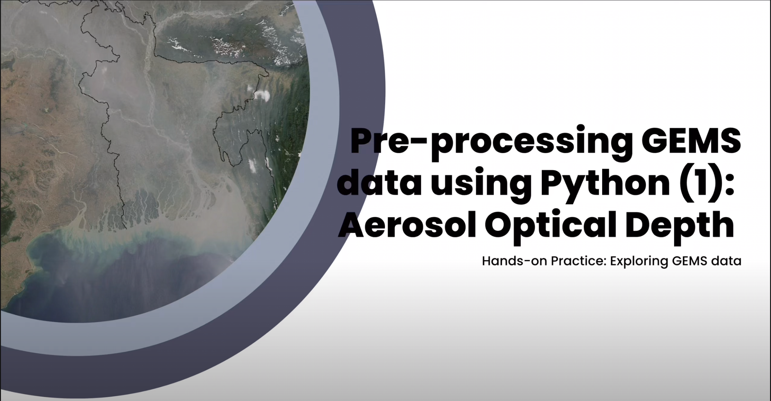
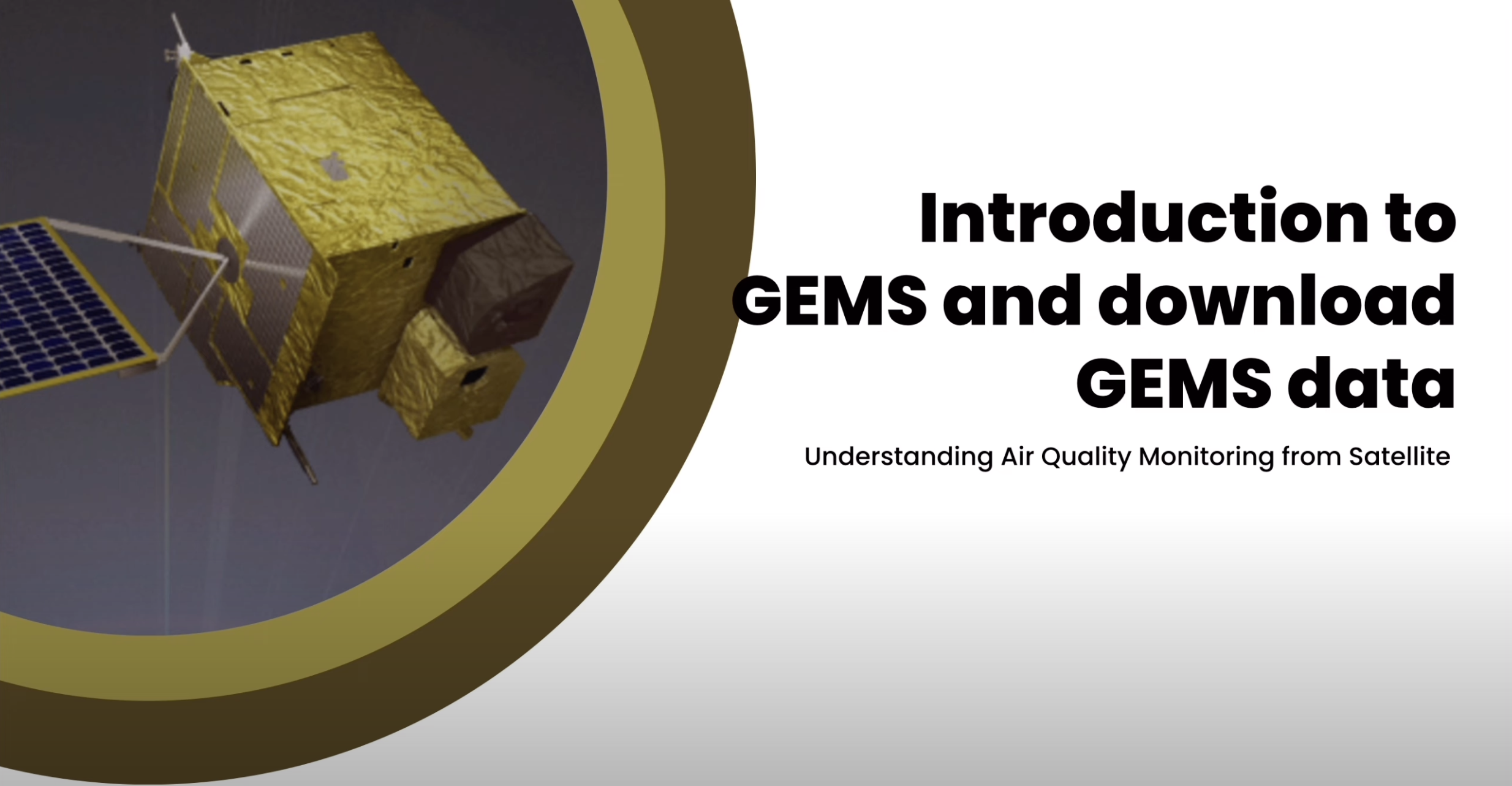
PAPGAPI’s work covers multiple key areas. It utilizes the Geostationary Environment Monitoring Spectrometer (GEMS) to provide hourly satellite-based data on pollutants such as aerosols, ozone, nitrogen dioxide, sulfur dioxide, and formaldehyde across Asia. Additionally, it has established the Pandora Asia Network (PAN), an advanced system of ground-based spectrometers deployed in 13 countries to validate satellite data with localized atmospheric measurements. This combination strengthens air quality assessments and informs emission control policies.
PAPGAPI supports capacity building and technology transfer to help national agencies interpret geospatial data and better manage air pollution monitoring and also fosters regional cooperation through expert meetings and knowledge sharing.